

Burntwood

Burntwood has always been associated with Woodhouses and Edial, or Edgehill (Edial) as it was once known. The name Burntwood or ‘Brendewood’ derives from the burning of a heath in Cannock Forest by the vill (township) of Hammerwich; the forest proceedings in 1296 mentions the incident. This is the first mention of Burntwood in history. The name Burntwood was in use by 1298 when the Bishop of Coventry and Lichfield had 300 acres of common pasture in ‘Brendewoode’.
The next important change in the history of the area came with the Reformation, when much of the surrounding land changed hands. The land was taken from the Bishop of Coventry and Lichfield and sold to Sir William Paget in 1546. The Pagets remained the major landowners until this Century.
The manor of Pipe existed by 1135. This lies within the present Burntwood boundary. Pipe remained a member of the bishop’s manor of Longdon, which in 1546 passed to the Paget family (successively Barons Paget, Earls of Uxbridge and Marquises of Anglesey). Pipe was still a member of Longdon manor in the 1850’s. It covered Edial and Woodhouses but did not include Burntwood, which was part of the Longdon manor.
Fulfen on Rugeley Road was an inhabited area by the 1530’s. The Nags Head Inn at the junction of Rugeley Road and Nether Lane existed by 1799 and probably by 1775.
Maple Hayes became an important house within the Burntwood boundary. Atkinson, Sheriff of Staffordshire 1828-9, was living at Maple Hayes by 1812 and built up a collection of paintings and other art there. In 1884 the house and 455 acres was sold to Albert Octavius Worthington, a partner in the Burton on Trent brewing firm of Worthington & Co. He was succeeded in 1918 by his son William Worthington, who died in 1949, leaving 1,540 acres.
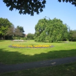
Woodhouses originated as a clearing in the woodland, and the place name ‘Woodhousleye’ is found in the area in 1374. Woodhouse Green was mentioned in 1433. A county lunatic asylum was opened in 1864 on Hobstone Hill northwest of Woodhouses. A way at Hobbestone was mentioned in 1392.
The hamlet of Edial developed along the stretch of the Lichfield road each of Burntwood known by 1409 as Edial Lane. In 1666, 16 people in Edial were assessed for hearth tax; the population was 225 in 1841 and 222 in 1851.
Chasetown
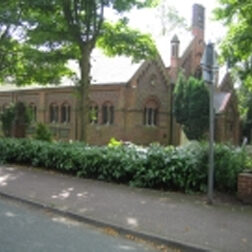
Chasetown and Chase Terrace developed much later with the coming of coal mining in the area. The first pit was sunk by the Marquis of Anglesey in 1849.
The village of Chasetown, at first known simply as Cannock Chase, developed on either side of an existing road running north across the heath; at first the road was called Rugeley Road, but by 1881 it had become High Street. Colliery Road, renamed Church Street by 1881, gave access to the mine opened at its west end in 1852. Three pairs of cottages were built on the north side of Colliery Road circa 1854 and the adjoining Uxbridge Arms existed by 1856.
By 1867 the village was known as Chasetown. The credit for devising the name is variously given to George Poole, vicar of Burntwood and Elijah Wills, headmaster at Chasetown School.
Chase Terrace
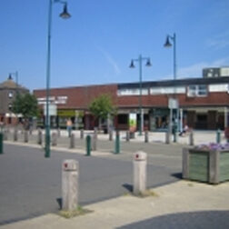
By the early 1860’s mining had spread north with new mines on the south side of Cannock Road. A new mining village known as Chase Terrace developed in the area. There was a beer retailer at Biddulph’s Pool by 1864.
In 1884 the Chase Terrace area had a population of nearly 2,000. The last mine in the area closed in 1959, but between 1961 and 1971 the population nearly doubled as Burntwood became an overspill area for the people from Birmingham and the Black Country.
Sankeys Corner has become the administrative and commercial centre with development of an industrial estate, the opening of Burntwood Town Shopping Centre and the market in 1970 and the completion of the Library in 1987.
Boney Hay became populated in the later 19th Century. It derives its name from waste called ‘le Burnehew’ in 1361. The area was known as Burnehay and Bornehay in the 16th Century and in 1571 there was a house there.